All projectsCase study Our own product
Flyover.video.
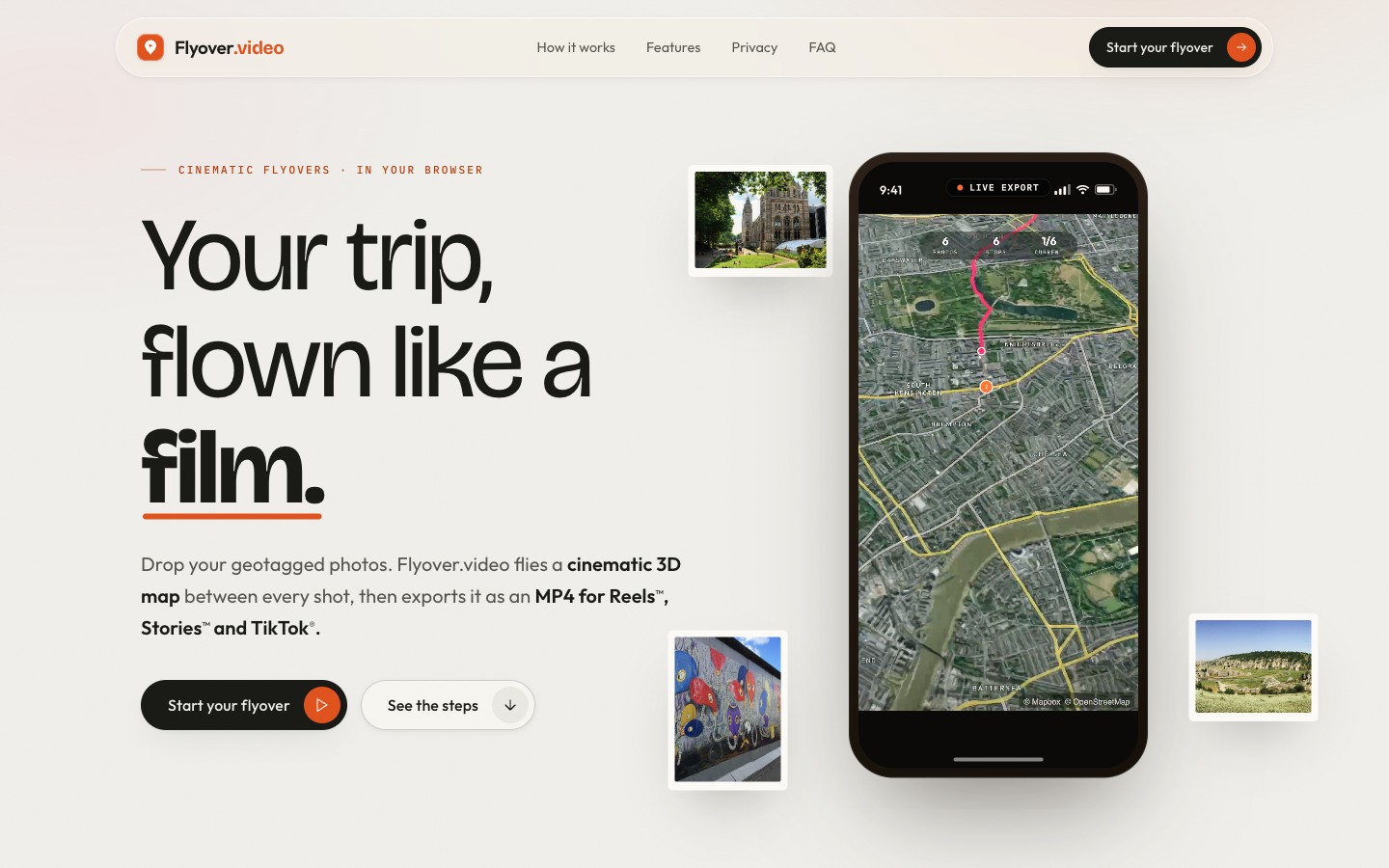
It turns a trip's geotagged photos into a film: a camera flight over a 3D map, from one photo to the next. Everything happens in the browser.
- For
- Anyone who wants a short film of a trip
- What we did
- Research, design and development
- Launched
- June 2026
How it works.
The photos
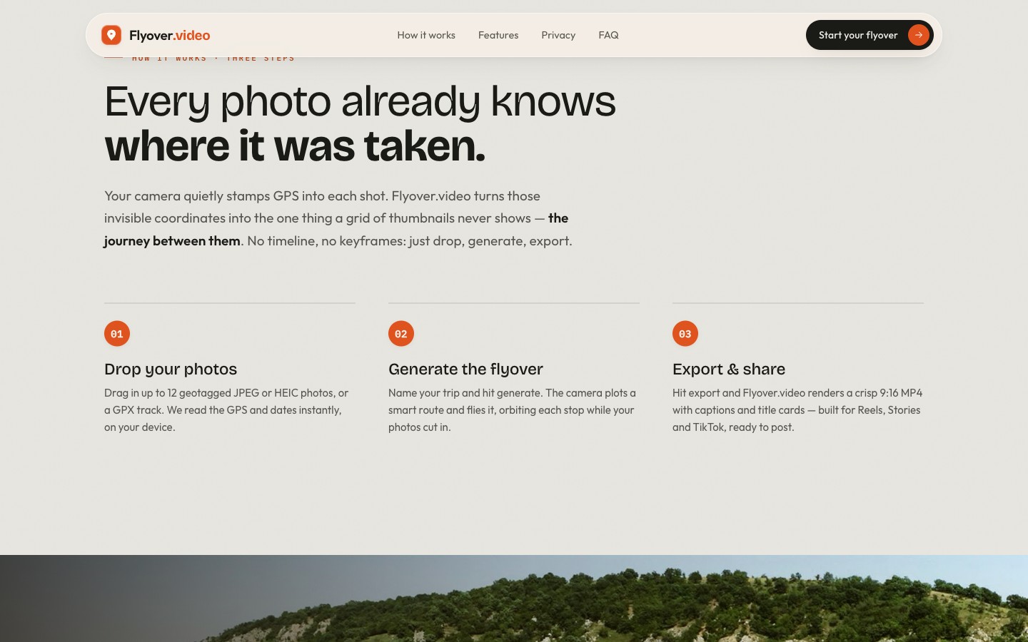
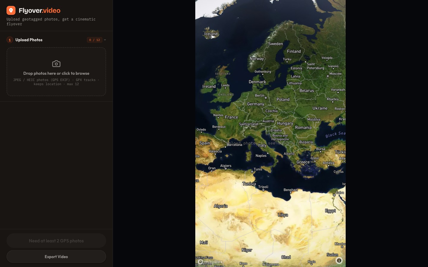
Up to 12 JPEG or HEIC photos, a GPX track or a .zip archive. The place and the date are read from the files, on the device.
No location
Photos without GPS are placed on the map by hand.
The route
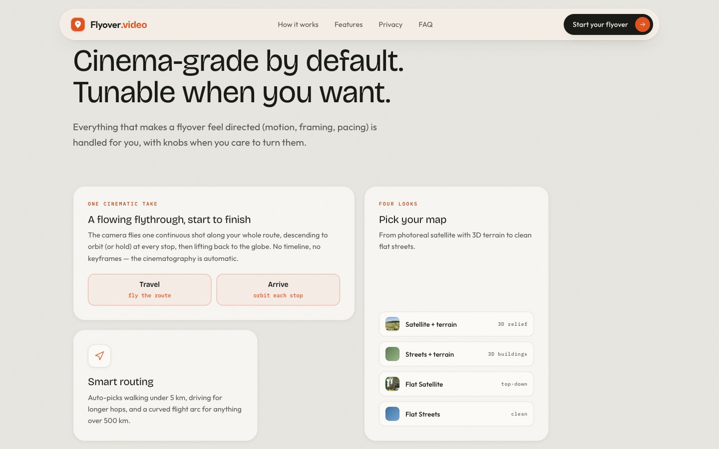
On foot under 5 km, by car up to 500 km and a flight arc beyond that.
The look
Four map styles, three ways of showing the photo and two camera moves.
The flight
The camera flies the route in one move and stops at each place, with its name and the date.
The export
A vertical MP4, 1080 × 1920, encoded on the device. Exporting is paid.
Technical decisions.
Everything in the browser
We also researched rendering on a server and rejected it: it would have meant uploading the photos.
Frame-by-frame export
The film is not recorded from the screen. The app advances frame by frame and waits for the map, so no area is left unloaded.
The same motion everywhere
A single time function drives both the preview and the exported film.
Android and location
Android strips the location from photos picked from the gallery. A .zip archive passes through untouched and is opened on the device.
Payment without an account
The server receives only a fingerprint of the photo set, so it knows which film has been paid for.
No build step
One page and 16 plain scripts, with the libraries hosted locally.
What stays private.
The photos stay on the device
The app uploads no file to the server.
Coordinates reach the map
The map, the routes and the place names come from Mapbox, which receives the coordinates.
Statistics only with consent
Analytics starts only after you accept.
Results.
The app has been public since June 2026. On a test machine, export ran twice as fast as the film's length, with no frames showing an unloaded map.
Write to us.
Do you have a procedure that would run more easily in an app? Tell us in a few lines what you want to solve. You do not need a prepared document. We will then set up a first conversation.
contact@socialit.ro